Beyond the Map
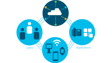
Geographic information system is a computer system that allows layers of data to be shown on a map. This layering of information allows people to more easily visualize and understand patterns and relationships. Using GIS technology, people can compare the geographical locations of different data sets to discover how they relate to one another. You might look at a map that compares population, income and education level by location to see if there is any correlation.
How it Works
GIS can use many different forms of data. GIS limited to information that includes location, which makes sense if you think of the name. Data that is already in map form is the most obvious. This includes the location of rivers, roads, hills and valleys. Digital data, such as that collected by satellites, can also be utilized by GIS. Even data in table form can be included. GIS technology allows all these different sets of data in all these different forms to be overlaid on top of one another on a single map.
Transfer data to a GIS system is called data capture. Digital data can be uploaded. Other forms of data need to be converted into digital information usually through scanning. The GIS program is then able to align all the information on the same scale, so everything fits together. GIS also manipulates data for different projections. Needless to say, it is a powerful system.
Maps
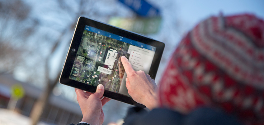
If you have ever played with interactive maps on your phone or internet, you have benefited from GIS technology. Programs like Google Maps and Google Earth all use GIS. Your car navigation system is able to gather traffic information and detour accordingly because of advancements in GIS.
Once data has been entered into the GIS system different maps can be produced. Data layers can be added or subtracted from a map depending on the information you wish to glean. Researchers even use GIS to observe change over time. Polar regions can be studied and analyzed and crime data can help police offers do their jobs better. People working in many different fields use GIS maps, from businesses to biologists.
Changing Our World
GIS is changing how we see the world today. Although it is easy to think the world has been mapped completely, it is a false assumption based on a limited view of the power of maps. GIS allows us to go beyond merely exploring the geography of a region. Maps are a way to interact with and study the world. We are demanding more of maps than we ever have before. GIS gives us the ability to look at scenarios, ask questions and approach complex special issues.
The idea of GIS allows third world communities to balance livelihood with the protection of natural resources. It is a phenomenal tool that helps us harness local knowledge to aid decision-making and foster sustainable growth. GIS allows us to actually visualize spatial and temporal relationships.
The world is becoming more interconnected. As humans face serious challenges, we need to leverage the best brains, creative talent and design talent to create a sustainable future. GIS is transformable. It is visual, interactive, quantitative and analytic. It allows us to change the way we understand and interact with our world. GIS is a promising technology and a great field to pursue. If GIS intrigues you, take the time to learn more about your gis degree options.
GIS is an expanding field of study that is captivating on many levels. It takes maps to a new level. Data becomes spatial and the information gleaned from this perspective is transforming the way we think and act. Become a part of the GIS community by earning a degree in the field.